First openEO hackaton report
Introduction
As announced earlier,
First #OpenEO hackaton will be held @ ifgi on Mar 23-24. Let me know if you’re interested to participate! https://t.co/v6cr7cnasQ
— Edzer Pebesma ((???)) January 20, 2017
the first openEO hackaton was held a few weeks ago. A short report follows.
OpenEO
OpenEO is an initiative to define an open API for accessing cloud-based Earth observation data processing engines, explained in this blog post.
Five participants took part in the hackaton: Christoph Paulik from the TU Wien, and the following people from from ifgi: Meng Lu, Daniel Nuest, Marius Appel and me.
The EODC had been so kind to set us up with access to a virtual machine in their data center, and this illustrates the problem with remote sensing data is that there are many and they are big. Part of the archive we looked at was found here:
xxxxxxxx@openeo1:~$ df -h /eodc/products/
Filesystem               Size  Used Avail Use% Mounted on
XX.XXX.XX.XXX:/products  1.4P  1.3P  159T  89% /eodc/products
How big is 1.3 petabyte? I often try to relate to the latest fixed-size digital medium we used, the CD-R:
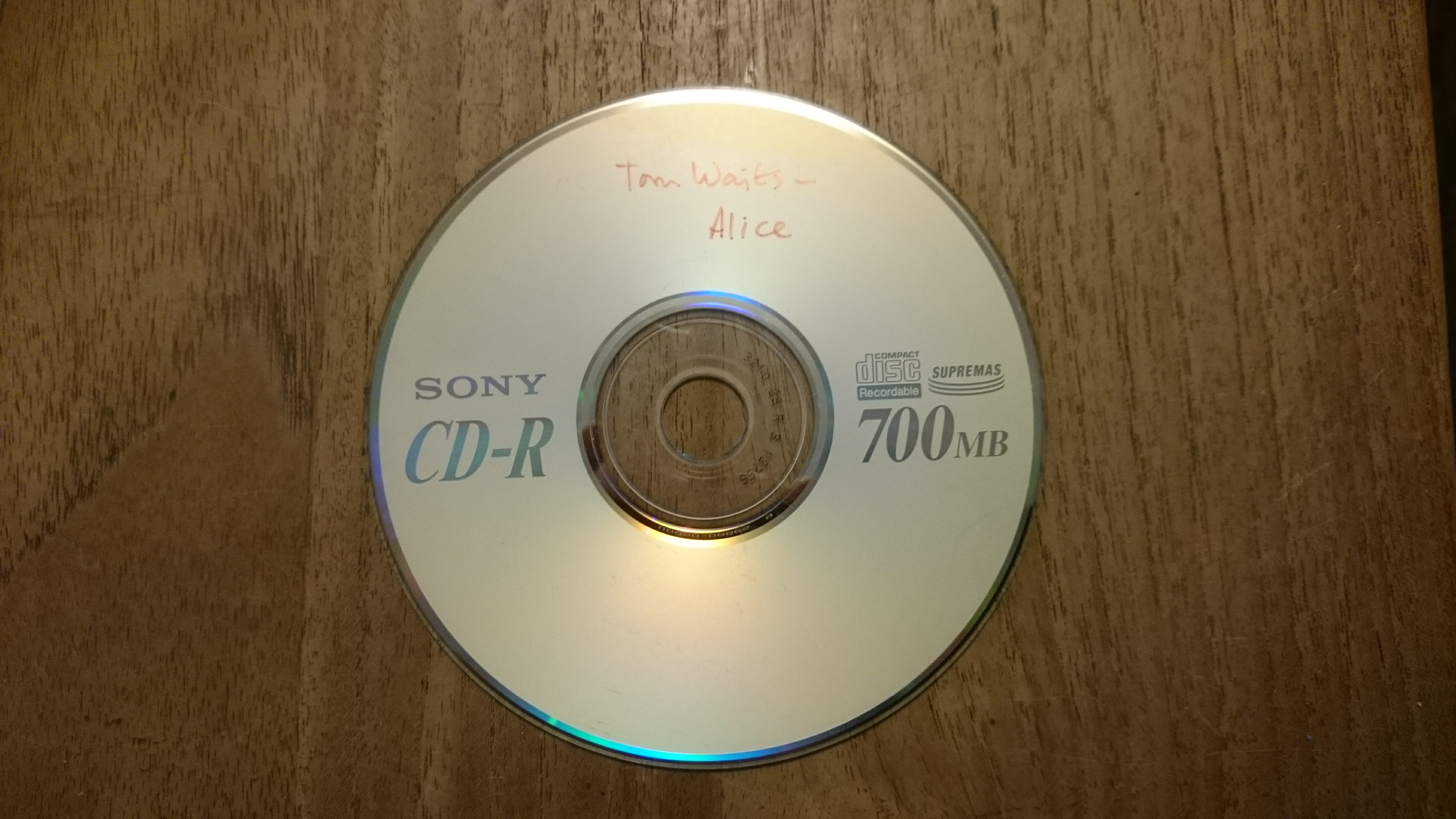
How many? Mmm.
1.3 * 1024^5 / (700 * 1024^2)

## [1] 1994092
2 Million: a stack of 2.4 km, or 10 km when we put them in a case.
APIs
We first talked quite a while about what RESTful APIs are, how they work, their verbs (GET, PUT, POST, etc), resources, what microservices are, and how they can be standardised e.g. following the Open API initiative. Then, we tried to define a simple challenge that uses REST, and uses Earth observation data.
Challenge
In the challenge, We didn’t want to work with the large amounts of data straight away. Instead, we tried to a challenge as simple as possible, namely adding two bands from a particular Sentinel-2 scene, and returning the result as a GeoTIFF.
We worked in three teams:
- team 1 worked on a JavaScript solution, with the imagery in a SciDB backend
- team 2 worked on a Python solution,
- team 3 worked on a pure R solution.
After around 3-4 hours, all teams had managed to get a RESTfull service doing this:
-
team 1 had most man power, but also most work to do; the solution was in the end the fastest, because the SciDB backend is highly scalable, using 24 cores or so
-
team 2, Christoph’s Python solution uses flask for web requests, gdal from osgeo to read data, and numpy to add to images–the resulting image was not georeferenced.
-
team 3 (Edzer) used the plumber R package to set up web services, and
rgdalandspto read and write raster maps. Solution found here.
Road ahead
We discussed quite at length what it will take to realize the OpenEO ambition. Adding two bands is easy, handling large collections of scenes is not. My respect for what the people from Google Earth Engine have realized has grown, their award from ASPRS is more than deserved. Nevertheless, it is isolated, closed source, practically impossible to verify.
We also drafted service calls, discussed coordinate reference systems of tile/scene collections, and looked at covjson. And one of the most attractive ideas (for some of us): to submit your Python or R function to the imagery server, and have it work, in parallel, over the scenes, returning the requested summary.
Certain terms (scene, tile, pixel) reoccurred many times, seemingly stretching across the different used back-ends but there were slight differences - a huge challenge for an API intending to be useful to many. Discussing the API design, we struggled with the user perspective: is the user the analyst, or the developer? Who do we accommodate with the used terms?